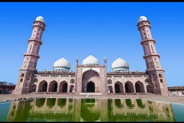
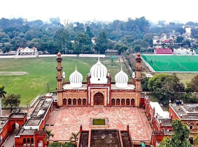
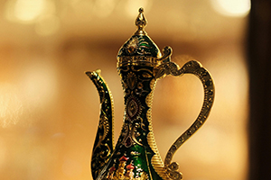
Agra is a city on the banks of the river Yamuna in the northern state of Uttar Pradesh, India.


Farrukhabad is situated between Lat. 26° 46' N & 27° 43' N and Long. 79° 7' E & 80° 2' E.


Meerut district lies between 28°57’ to 29°02’ North latitude and 77°40’ to 77°45’ East longitude in the Indo-Gangetic plains of India.


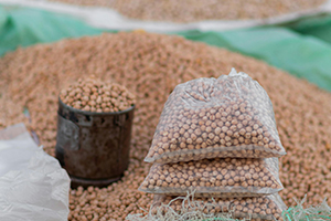
Amla is an important fruit crop that grows in tropical and subtropical parts of India.


Aluminum is a lightweight metal with very good thermal conductivity. It is resistant to many forms of corrosion.
This city is located in western Uttar Pradesh, between 28°-21′ and 28°-16′ north latitude


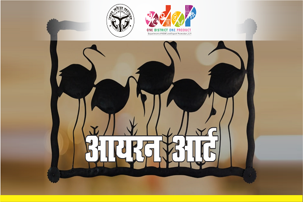


This District are geographically located at 27.35 N latitude and 79.37 E longitude

District Amethi is located at 26°9' north latitude and 81°49' east longitude, with an average elevation of 101 metres (331 feet) above mean sea level.

During the Mughal and British periods, Kasganj, which is located in the historical district

Lalitpur District was formerly part of the state of Chanderi, founded in the 17th century by a Bundela Rajput

Nawab Ali Muhammad Khan, the adopted son of Sardar Daud Khan, the Rohillas' leader in Northern India, established the state of Rampur.

The history of this region can be traced in a logical manner since the days of the Aryans,
Siddharthnagar is a district in the Basti division of Uttar Pradesh, India, with its administrative headquarters located at Naugarh (Tetri Bazar).